Interactive Maps
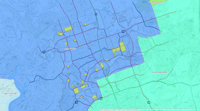
Education
The City of Cedar Park Education Map contains data generated and maintained by the City’s Information Services Department as well as data that is maintained by the Texas Education Agency. Datasets include child care centers, school locations, school districts, school zones, and school campuses.
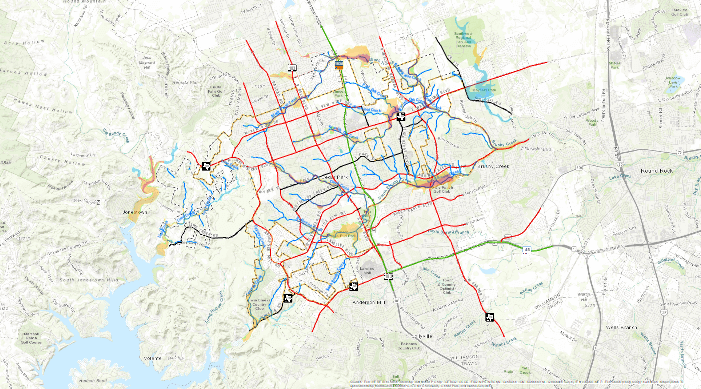
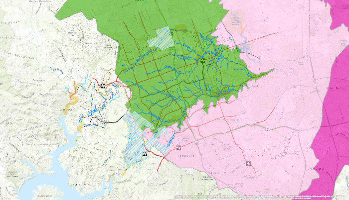
Environmental
The City of Cedar Park Environmental Map contains data created by State and Federal Agencies. The datasets in this map include rivers and waterways, dams, flood zones, topographic contours, Edwards Aquifer recharge zones, and protected species habitats.
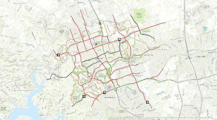
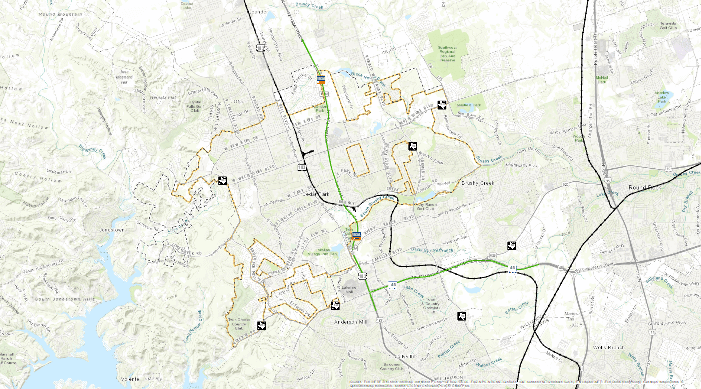
Parks and Recreation
The City of Cedar Park Parks and Recreation Map contains data generated and maintained by the City’s Planning and Parks and Recreation Departments. The datasets in this map include City parks and recreation facilities, cave locations, playgrounds, City’s trail network and public art locations.
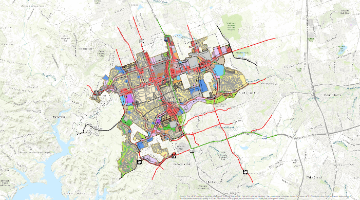
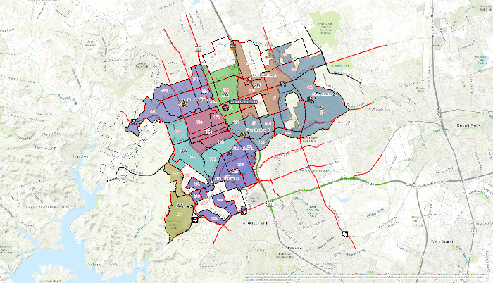
Planning
The City of Cedar Park Planning Map contains data generated and maintained by the City’s Planning Department. The datasets include Zoning as outlined in the City’s Code of Ordinances, Future Land Use as outlined in the Comprehensive Land Use Plan, subdivisions, and neighborhood areas. Supplemental data included within the map includes general civil boundaries and 2016 FEMA Flood Zones.
Public Safety
The City of Cedar Park Public Safety Map contains data for the City’s Fire and Police Departments. The datasets include Police and Fire Districts, station locations, child safety zones and firework enforcement zones as outlined in the City’s Code of Ordinances, registered sex offenders and general civil boundaries. Future additions to the map will include potential wildfire areas, drug free zones, and Tier 2 Hazard sites.
Public Works and Engineering
The City of Cedar Park Public Works and Engineering Map contains data created and maintained by the City’s Publics Works Department. The datasets include utility infrastructure such as water distribution, waste water collection, storm water systems, and other engineering related datasets such as roadways, bridges, topographic contours, waterways and flood zones.
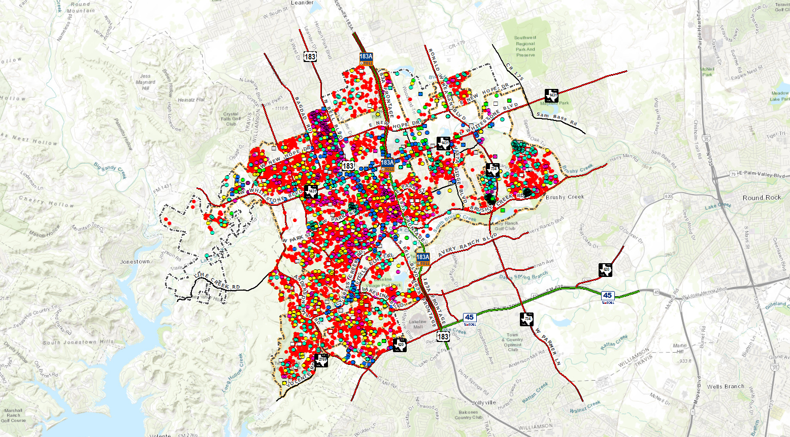
Permitting
The City of Cedar Park Permitting Map contains location markers for active, closed, pending etc. construction projects throughout the City. Each permit location has information pertinent to the permit such as date and contractor information. Permit information is available for permits filed with the City for years 2016 – Present.
All-In-One
The City of Cedar Park All-In-One Map contains all datasets found in the City’s other Interactive Map offerings: Education, Environmental, Parks and Recreation, Planning, Public Works and Engineering, and Public Safety Maps.